Use cases
One editor, a lot of different pictures
The same editor makes all of these. Each one below links to live examples you can open and try, no account needed.
Property and real estate
Developers, agents and property marketers. Show a development the way a buyer thinks about it: plot by plot, floor by floor, home by home, with what is still available.
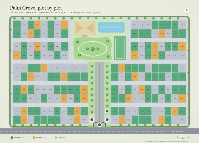 Palm Grove, a plotted township, plot by plot
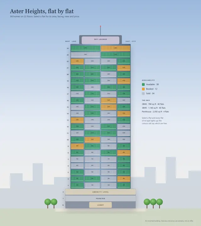 Aster Heights, a residential tower, flat by flat
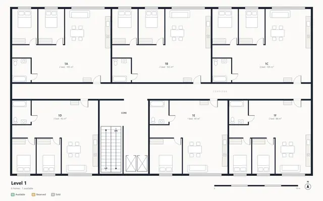 Apartment building, homes for sale
- Colour every plot or flat by status, and select one to light every other of its kind
- A side panel of facts for each room or unit, with area worked out from the drawing
- Artboards for each level, with the stairs linking them
Wayfinding
Hospitals, airports, stations, resorts, campuses and car parks. The way from the door to where somebody is going, drawn as a route they can follow on a phone.
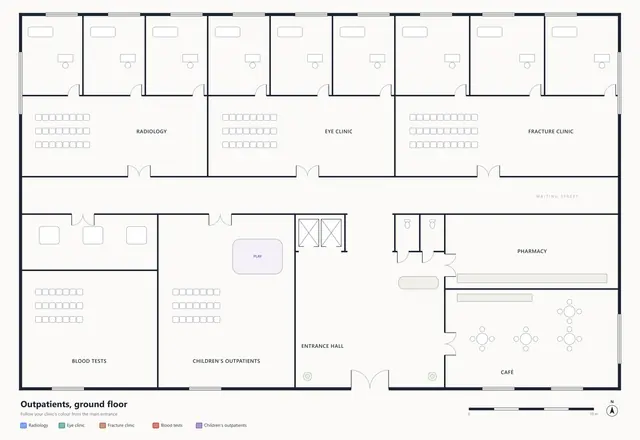 Hospital outpatients, the way to your clinic
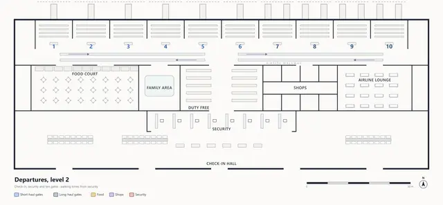 Airport terminal, departures level
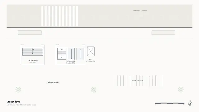 Metro interchange, three levels
- Routes with their stops drawn, one-way or both ways
- Facility markers for lifts, stairs, toilets and exits
- Every level as an artboard, joined where people move between them
Venues and events
Arenas, exhibitions, conferences and restaurants. Seating, stands and tables a visitor can point at, with prices or details on each.
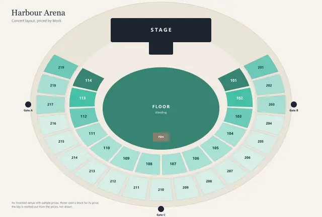 Harbour Arena, seats priced by block
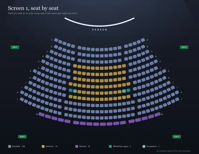 Screen 1, a cinema seat by seat
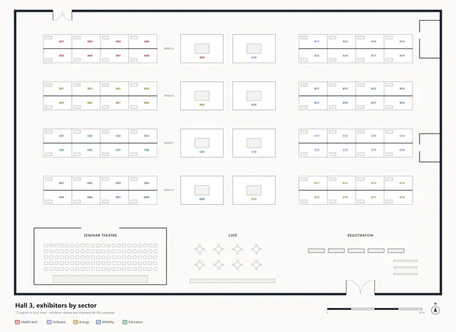 Exhibition hall, 72 stands by sector
- Shade blocks or stands by a number, with the key worked out for you
- Hover cards for quick facts, panels for more
- Small regions over large ones: tables over dining areas, stands over halls
Teaching and science
Teachers, museums, publishers and science communicators. Pictures a student can question: every part named, every stage explained, at their own pace.
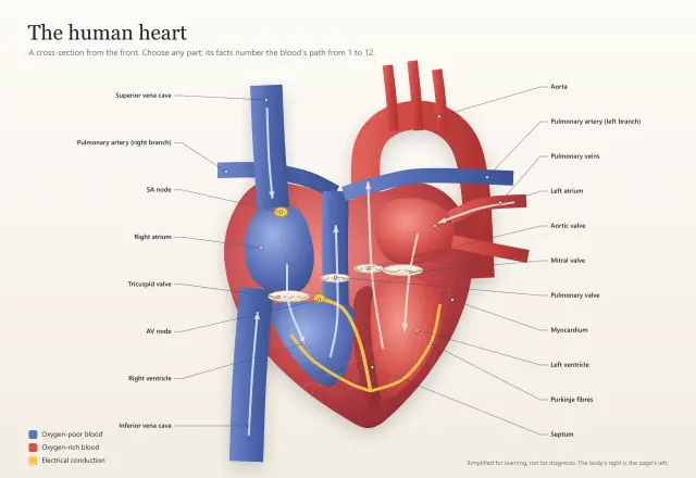
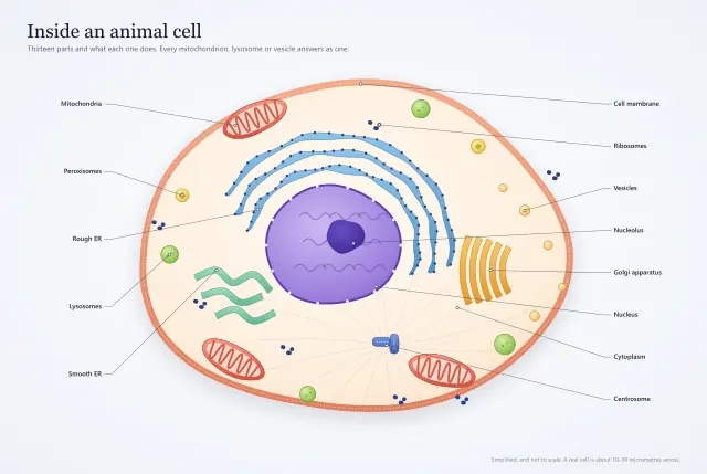
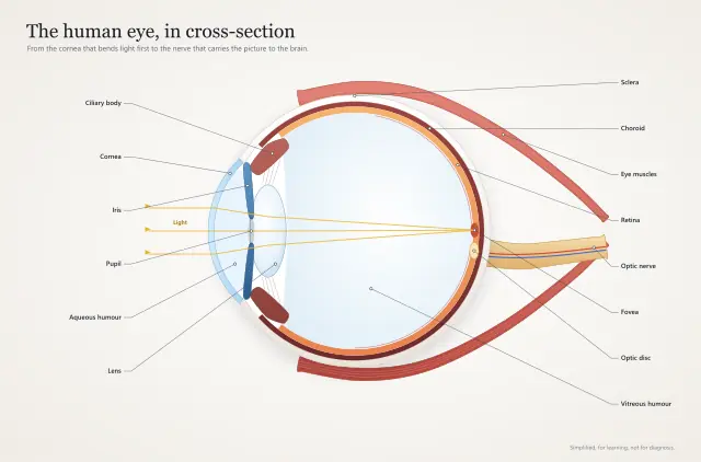
- Anatomy and science illustrations with every part named and explained
- Groups that light up together, like a family of elements
- Shading by a number, like how strongly each unit of a network fires
- Galleries of pictures and video on any region
Products, retail and engineering
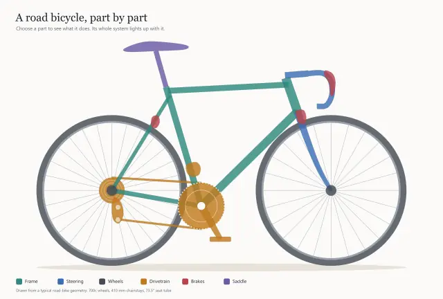
Shops, manufacturers, service teams, fleets and inspectors. Shoppable rooms, exploded products, cutaways and inspection sheets, with a note or a price on every part.

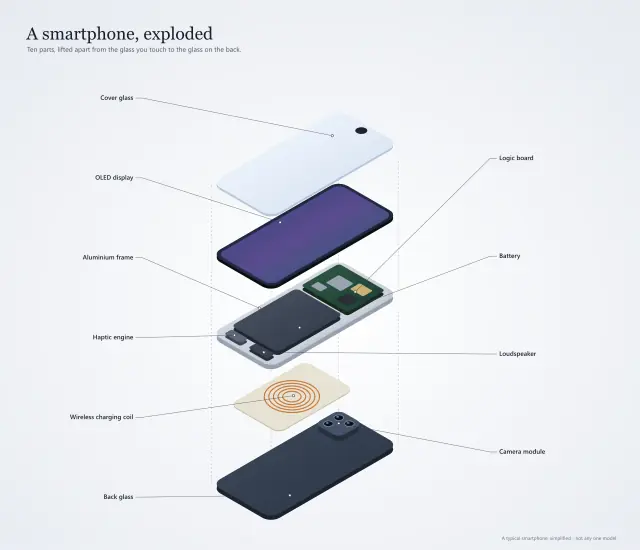
- A marker on every piece of a styled room, showing its price on hover
- Every shape in a vector drawing as a region, with its own outline
- Parts grouped into systems
- Ratings shaded on a scale, with the key derived
Data and coverage
Analysts, sales teams, NGOs and journalists. Countries and regions shaded by your numbers, with offices, zones and routes on the same map.
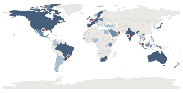
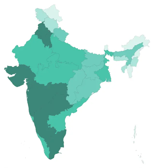
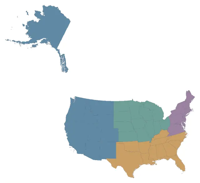
- 236 countries, each drawn as its states and provinces
- Paste names and numbers; the map shades itself and writes its key
- Zones, drill-downs to a country, and places set by coordinate
Something else in mind?
If it is a picture people need to point at, it probably fits. Tell us what it is.