Draw any shape
Points, rectangles, ellipses and freeform polygons. Edit vertices directly, insert midpoints, nudge with the keyboard, or lasso a whole group.
Interactive images, without code
Draw regions on a floor plan, a map, a diagram or a photograph. Attach names, descriptions and links to each one. Publish it as a page, or embed it in a site you already have.
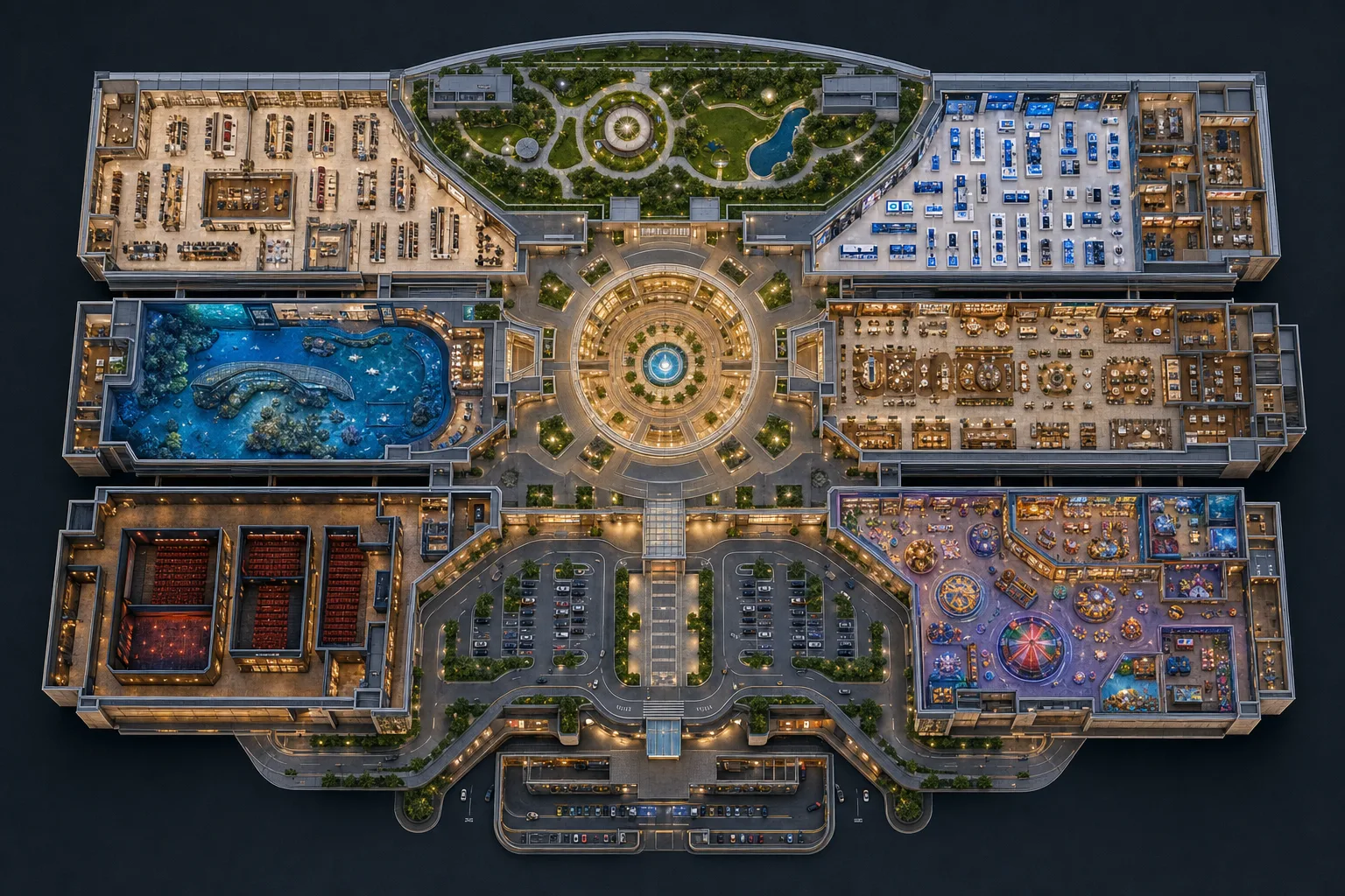
What you can build
Nothing on this page is a roadmap item. If it is listed, it is in the editor now.
Points, rectangles, ellipses and freeform polygons. Edit vertices directly, insert midpoints, nudge with the keyboard, or lasso a whole group.
The world, seven continents, or any of 236 countries — drawn as their own states and provinces. India arrives as 35 clickable regions, already named.
Smart Trace drafts enclosed rooms from a clean line-drawn plan, in your browser, with nothing sent to a server. Every region is proposed for review, never accepted for you.
One project holds many levels, each with its own picture and its own regions. Link a lift on the ground floor to the same lift upstairs.
Calibrate a distance once and read real lengths and areas off the plan. Draw guided routes with waypoints, direction and numbered stops.
A share link, an iframe, or both. Published versions are frozen, so editing a draft never changes what you already sent out.
How it works
Upload a floor plan, diagram, product shot or illustration — JPEG, PNG, WebP or SVG. Or pick a country and get its regions already drawn.
Draw the regions, name them, and attach the labels, descriptions, links and media each one should reveal.
Get a share link and an embed snippet. Restrict which sites may frame it, roll back to any earlier version, or unpublish entirely.
Accessibility
Most image-map tools produce something a keyboard cannot reach and a screen reader cannot describe. This one treats that as a defect, not a setting — and the checks run before you publish, not after somebody complains.
Publishing
Projects are yours alone. Publishing mints an unguessable share link; nothing is listed or indexed by us.
Each publish freezes the document and a copy of its images. Keep editing without touching what is live, then republish — or roll back to any earlier version.
Name the sites permitted to frame a project. Leave the list empty and nobody but GuidedVisual can. Revoking takes effect in seconds.
Withdraw a link and it stops resolving — for the share page, the embed and the images behind it alike.
Pricing
There is no paid tier yet, so there is nothing to compare and no card to enter. These are the actual limits enforced on every account.
$0while GuidedVisual is in early access
When paid plans arrive they will not be applied retroactively to work you have already published, and the limits above will not be lowered on existing accounts.
Questions
No. Everything is drawn and configured in the editor, and publishing produces a link and an embed snippet you paste in.
Any JPEG, PNG, WebP or SVG. Floor plans, site plans, diagrams, product photography, illustrations, scanned drawings — and the built-in maps if you have no image at all.
No, and we would rather say so. It drafts enclosed regions on clean line-drawn plans. Furnished renders, photographs and open exhibit layouts are not supported, and everything it finds is reviewed by you before it enters the project.
Yes. Each published project carries a list of sites allowed to frame it. Leave it empty and only GuidedVisual can. Revoking a site takes effect within seconds.
Nothing, until you republish. Publishing freezes a copy of the document and its images, so a link you sent last month still shows what you sent.
Yes, with real limits rather than a countdown. There is no paid tier yet and no card is asked for. When pricing arrives, it will not be applied retroactively to work you have already published.
Open the workspace, upload a plan or pick a map, and draw your first region. Nothing to install and nothing to pay.
Open your workspace