Examples
See what it can do, before you make anything.
Every one of these is a real project, published from the editor and shown here exactly as a reader would receive it. Open any of them - no account needed.
- 110live examples
- 11groups
- 5,803elements to explore
Coverage10
Who or what reaches where? Territories, zones, offices and delivery areas, painted on real maps of every country.
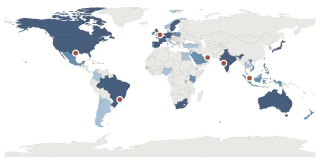 Global coverage 2027154 countries painted by tier, offices placed by coordinate, and a key drawn to match.
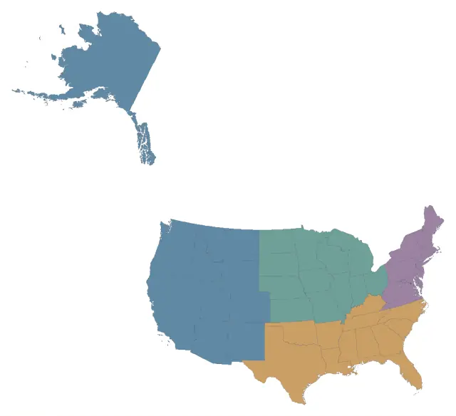 United States, four sales zonesForty-nine states gathered into four zones, with the legend along the foot of the sheet.
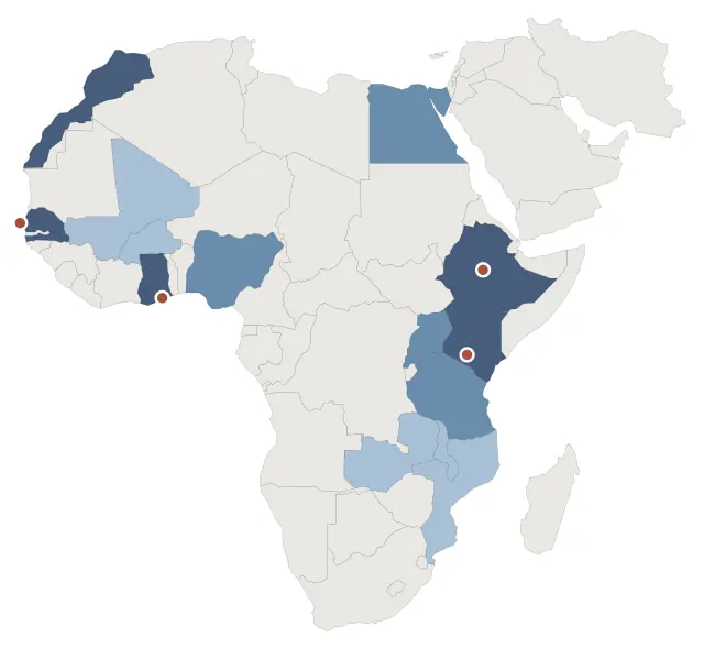 Field programmes, Africa and the Middle EastAreas drawn by hand over a map, opening on hover rather than on a click.
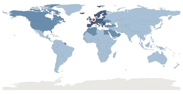 Shipping zones from RotterdamEvery country in one of three shipping zones: choose one and its whole zone lights up.
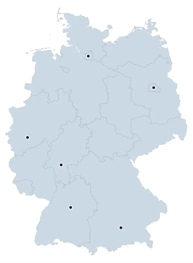 Germany, same-day delivery around six hubsDelivery circles drawn to a real 60 km radius around six hubs, over the states they sit in.
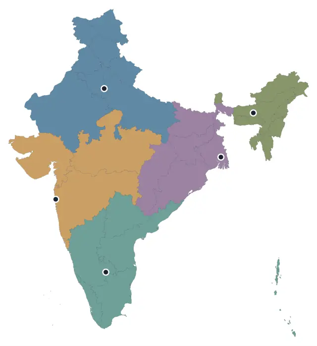 India, five regional officesEvery state looked after by one of five offices; choose a state and its region lights up.
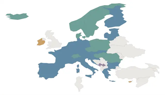 Where the euro and Schengen reachTwo memberships that overlap, country by country - real data, as of September 2026.
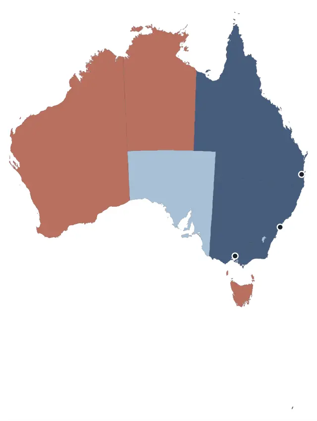 Australia, franchise territoriesEvery state taken, reserved or available at a glance, with the open stores, on hover.
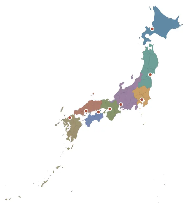 Japan, eight regional hubsAll 47 prefectures grouped into Japan's eight regions, each served by its own hub city.
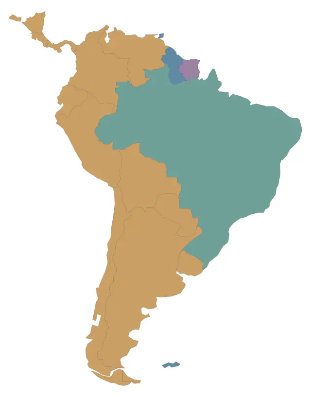 South America, support in four languagesSouth America by official language: choose a country to light every country one desk serves.
Data10
Can it shade by my numbers? Maps, plans and charts coloured by a value, each writing its own key.
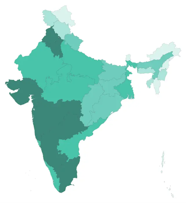 India, delivery coverage by stateThirty-five states shaded by a number, with the bands worked out from the data itself.
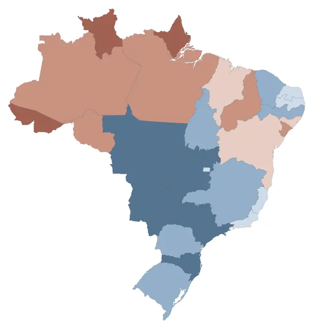 Brazil, up and down against last yearA quantity that goes both ways, on a diverging scale the map derives.
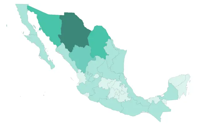 Four countries, by share of landA real measurement rather than an invented one: each region's share of the land, read off the drawing.
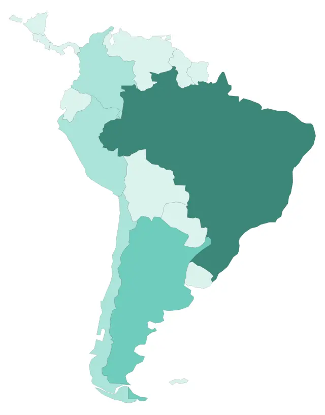 South America, quarter by quarterFour artboards as a sequence, each deriving its own key from its own quarter.
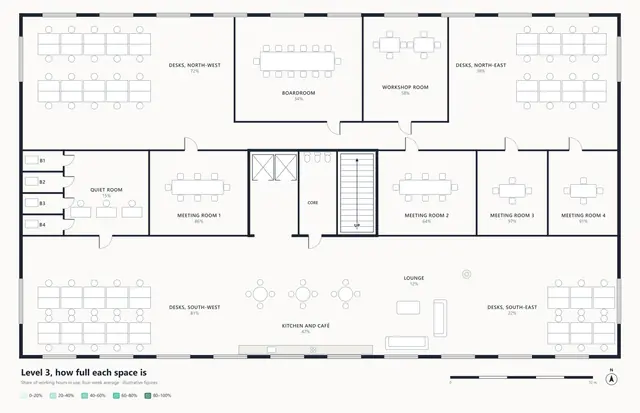 Office level 3, how full each space isA floor plan shaded by a number: how much of the working day each room is really in use.
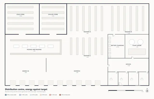 Warehouse, energy against targetOver and under target in two colours, the size of the difference in the depth of the shade.
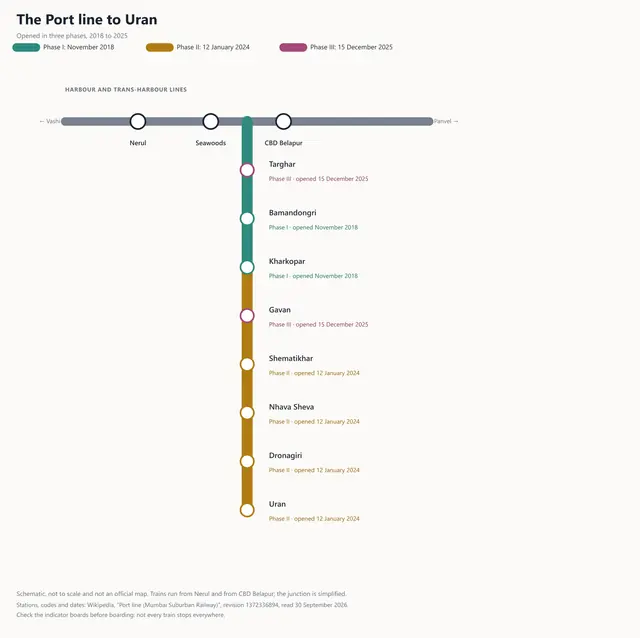 The Port line to Uran, opened in three phasesColour as time: a railway's track and stations painted by the phase each one opened in.
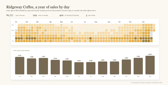 Ridgeway Coffee, a year of sales by dayA calendar heatmap: every day of a year shaded by sales, each month's bar lighting its days.
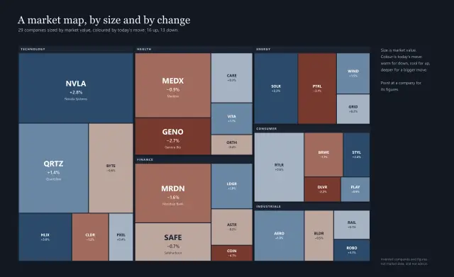 A market map, by size and by changeA treemap: companies sized by value and coloured two ways by today's move, the key derived.
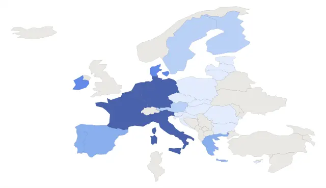 The European Union, years of membershipEvery EU member shaded by how long it has belonged, from the six founders to Croatia.
Routes10
Can it show a journey? Railways, trade routes and road trips, with every stop drawn and explained.
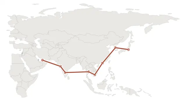 Asia, the 2027 routeA guided tour through eight real places, and a distance measured across the globe.
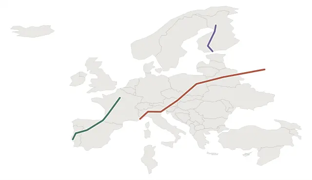 Europe, three sleeper corridorsThree routes over one map, each with its own stops drawn along it.
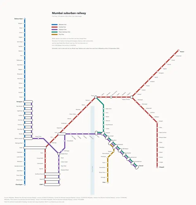 Mumbai suburban railway, the networkMumbai's five suburban lines as a schematic: each line is a route you click, each interchange a panel.
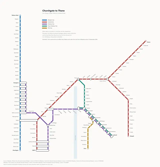 Churchgate to Thane, changing at DadarA numbered journey across a network map, whose change of line opens the station's own example.
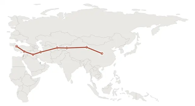 The Silk Road, from Xi'an to ConstantinopleA numbered tour through eight cities on the Silk Road, from Xi'an to Constantinople.
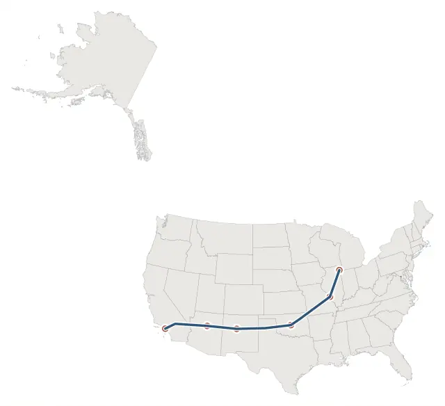 Route 66, Chicago to Santa MonicaThe Mother Road as a navigation route, Chicago to Santa Monica, with its stops drawn by the route.
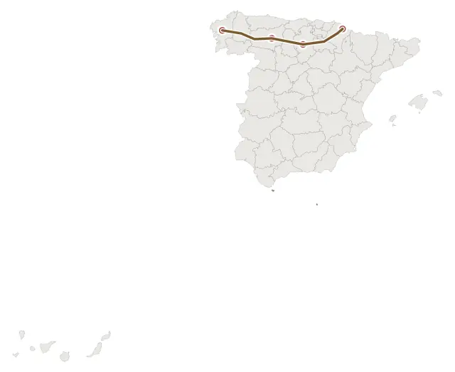 The Camino de Santiago, the French WayThe pilgrim route across northern Spain, from the Pyrenees to Santiago de Compostela.
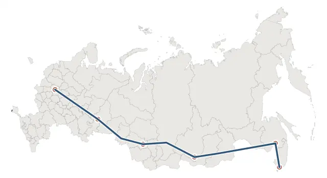 The Trans-Siberian Railway, Moscow to VladivostokThe world's longest railway line, Moscow to Vladivostok, as a two-way route across Russia.
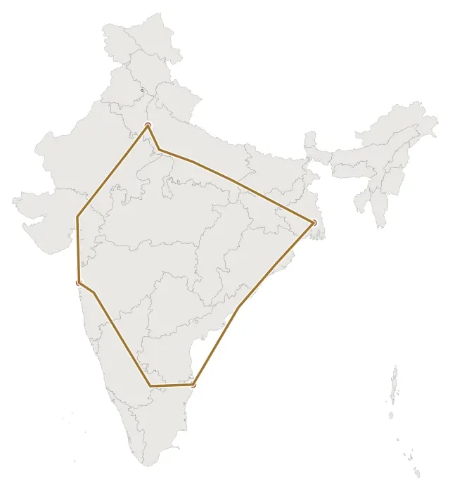 India, the Golden QuadrilateralIndia's highway loop joining Delhi, Mumbai, Chennai and Kolkata, as a two-way route.
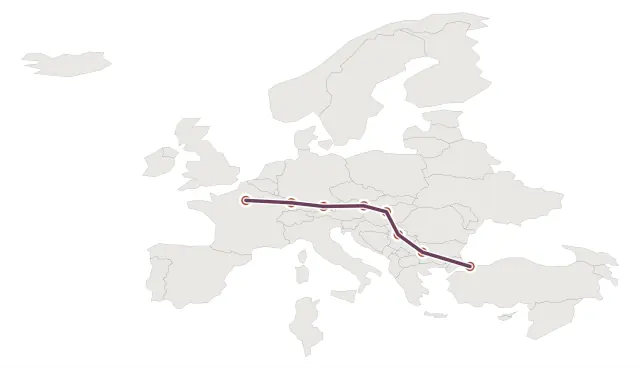 The Orient Express, Paris to ConstantinopleA numbered tour of the Orient Express's 1889 route, from Paris to Constantinople.
Media10
Can my picture tell a story? Paintings and photographs read detail by detail, with galleries and film.
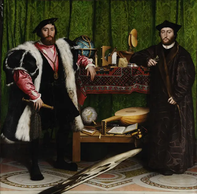 The Ambassadors, detail by detailA painting as a plain JPEG: every object outlined, each opening a side panel of details and film.
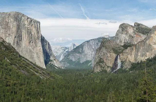 Yosemite Valley, then and nowA landscape photograph with its landmarks marked, each pairing 1861 with today, three with film.
 A photograph from the Moon, part by partOne photograph from the Moon, part by part, each opening a dark spotlight with pictures or film.
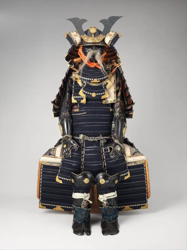 A samurai armour, piece by pieceA museum object on a plain ground: point at any part and the museum's close-up of it appears.
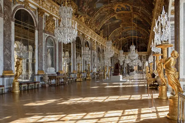 The Hall of Mirrors, feature by featureAn interior photograph with its features marked, each comparing the room with its paintings and history.
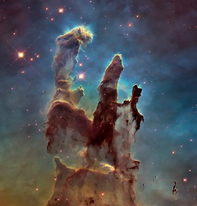 The Pillars of Creation, seen four waysOne telescope image whose every part opens the same place as Hubble and Webb saw it, side by side.
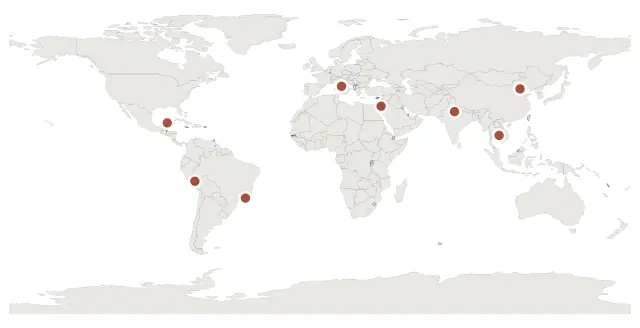 Eight places, in photographsA photograph behind every marker, each one credited and openly licensed.
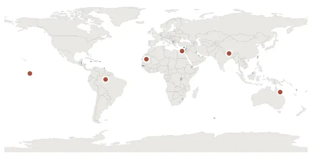 Earth, from orbitA gallery on a single hotspot — captioned pictures, and a film that plays in the page.
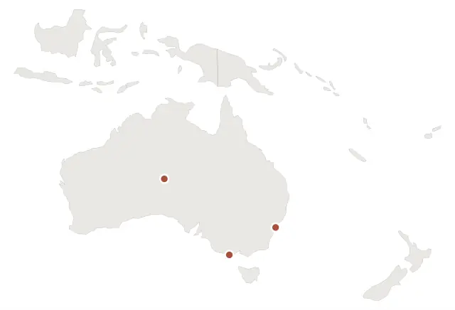 Australia, in picturesThe same gallery in a side panel, three or four photographs to a place.
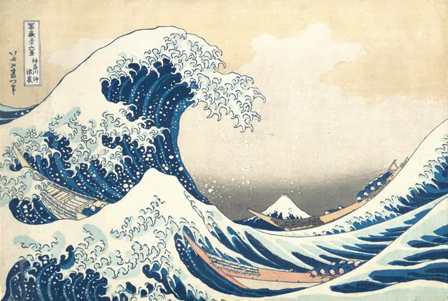 The Great Wave, read closelyHokusai's Great Wave read part by part, each opening other prints from the same series.
Reference10
Can people look things up on it? Countries, states, cantons and lines, each region opening its own facts.
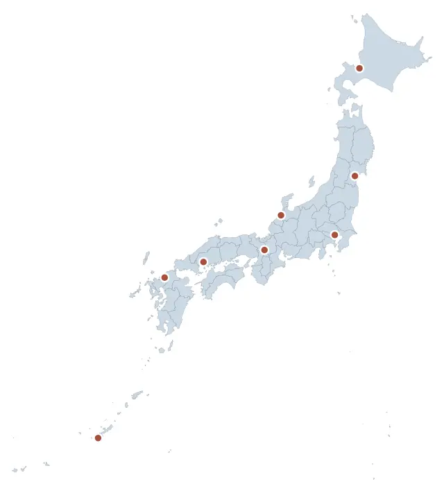 Japan, a reference mapEight cities, each sending the reader on to its own article elsewhere.
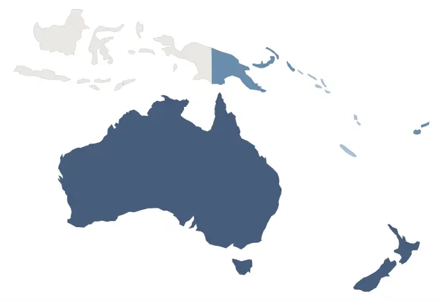 Oceania, a reference with detail panelsSeven regions that open a panel beside the map rather than a small card over it.
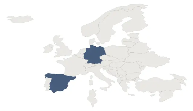 Europe, then inside a countryThree artboards linked in both directions: a continent, a country, and the way back.
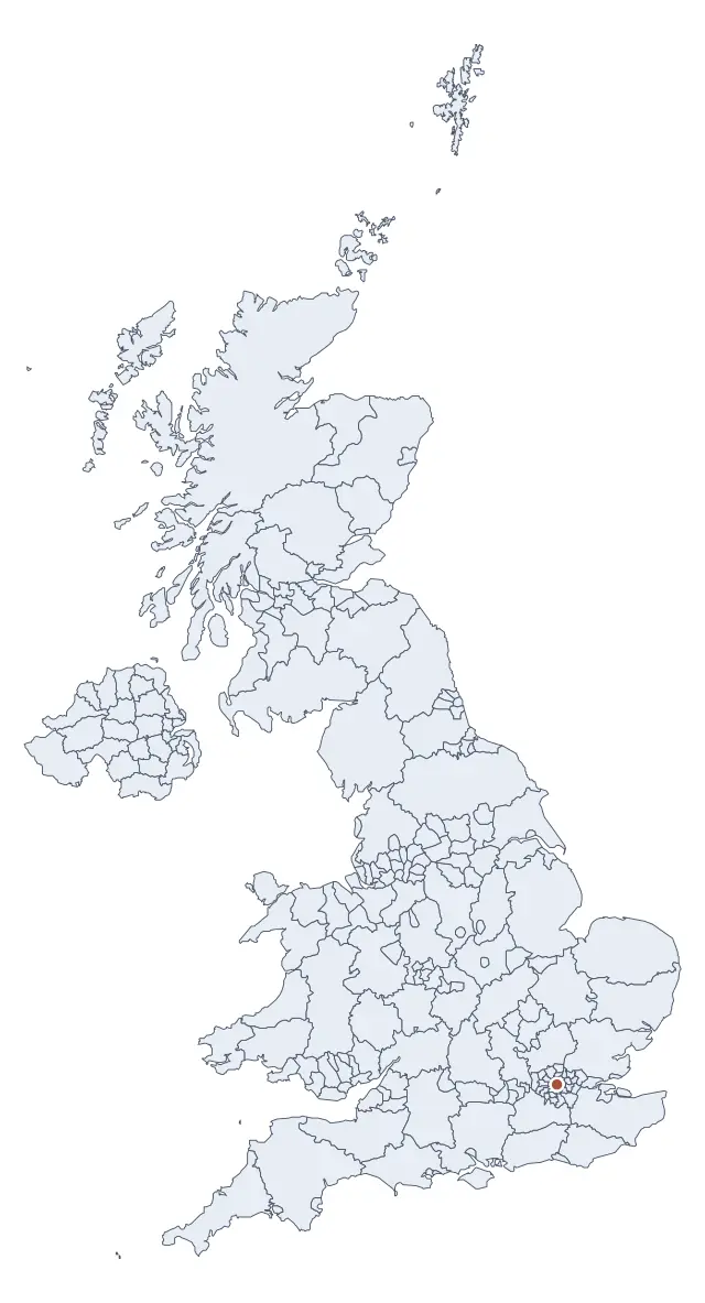 United Kingdom, 221 districtsThe densest sheet in the set, and every one of its 221 districts reachable by Tab.
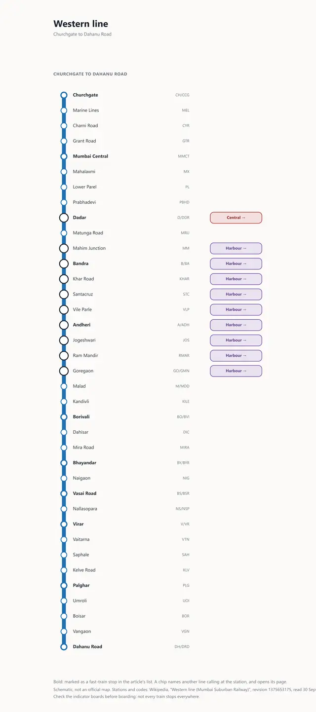 Mumbai's five suburban lines, station by stationA line guide on five artboards: every station a region, every change of line a link to that line's page.
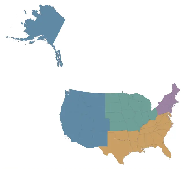 The United States, state by stateEvery state with its capital, largest city and year of admission, grouped by census region.
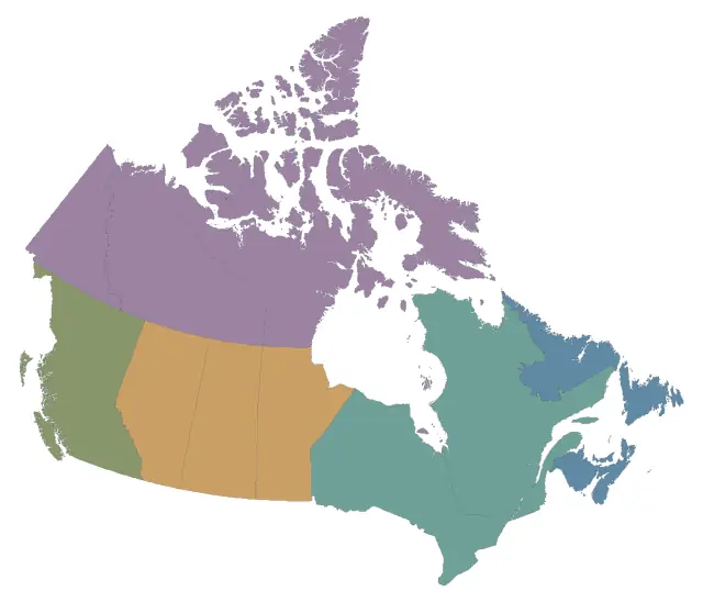 Canada, provinces and territoriesAll thirteen provinces and territories with capitals and the year each joined Canada.
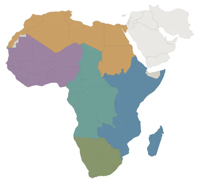 Africa, its countries and capitalsAfrica's countries and capitals, grouped by the UN's five African regions.
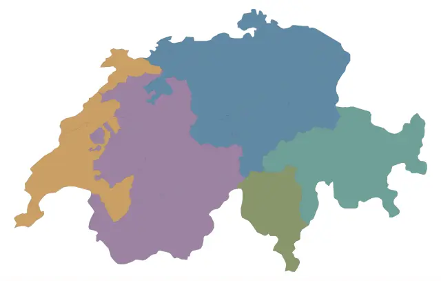 Switzerland, 26 cantons and their languagesSwitzerland's 26 cantons coloured by official language, with capitals and the year each joined.
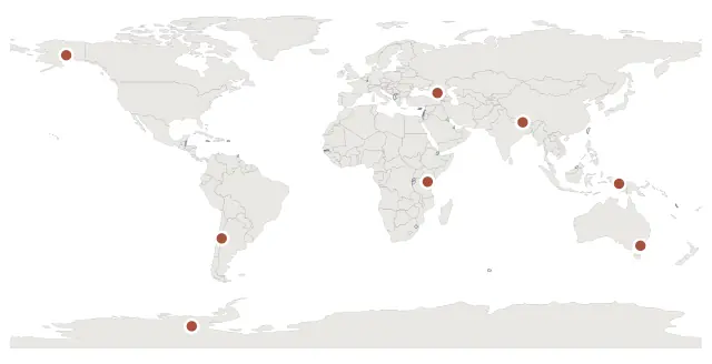 The Seven Summits, the highest on every continentThe highest mountain on every continent, numbered by height, with its first ascent.
Real estate10
Can I sell or let property with it? Townships, towers, masterplans and leasing plans, unit by unit and by status.
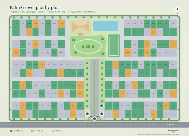 Palm Grove, a plotted township, plot by plotA master plan of 196 plots coloured by status: select one for its size, facing and price.
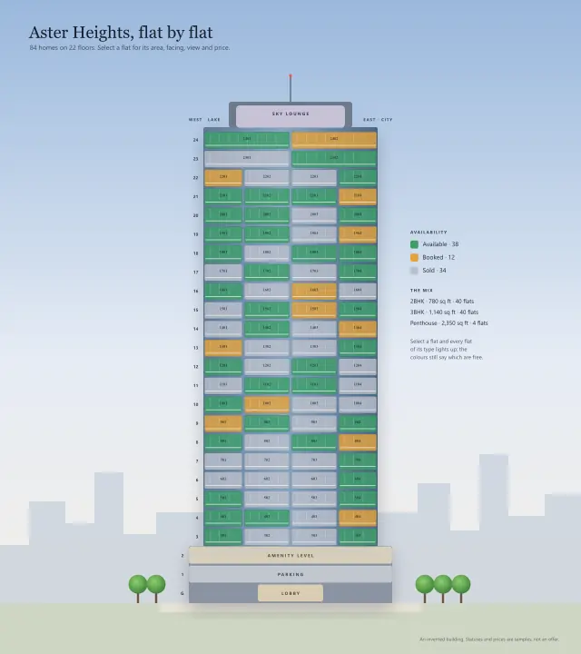 Aster Heights, a residential tower, flat by flatA tower where colour is each flat's status and the group is its type: two readings, one picture.
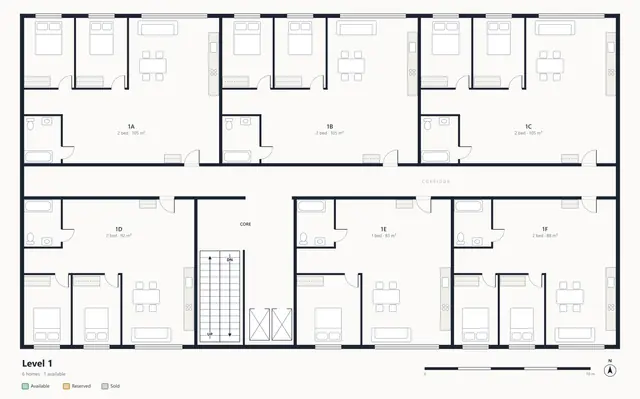 Apartment building, homes for saleA sales plan on four floors: every home coloured by whether it can still be bought.
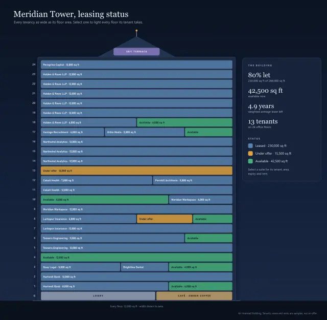 Meridian Tower, a leasing stacking planA 24-floor office tower by tenant and by lease expiry: select a tenant to light every floor it takes.
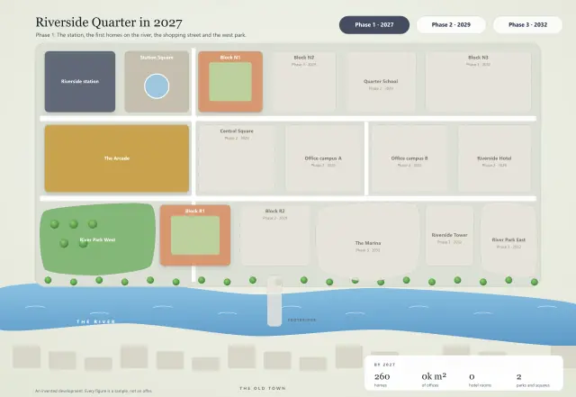 Riverside Quarter, a masterplan in three phasesA district built in three phases, each its own artboard, with tabs in the drawing to move between them.
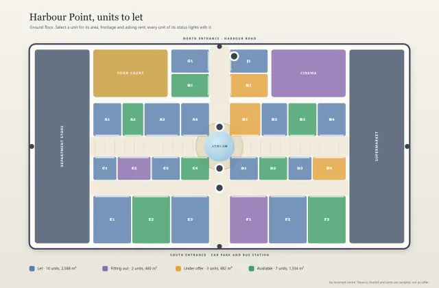 Harbour Point, retail units to letA shopping centre's units by leasing status, then shaded by footfall with the key derived.
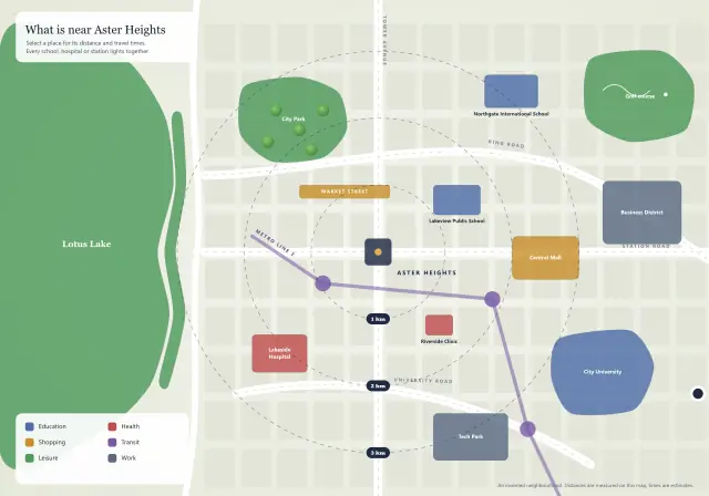 Aster Heights, the neighbourhoodA location map for a development: schools, transit and shops by distance, grouped by what they are for.
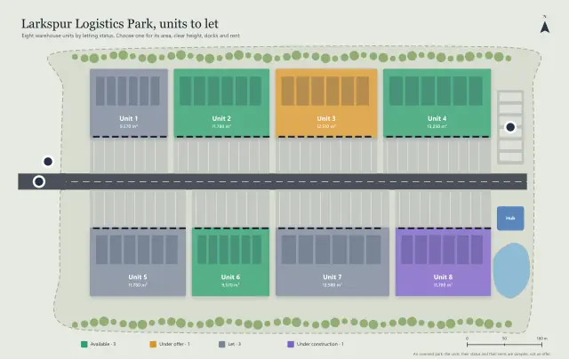 Larkspur Logistics Park, units to letIndustrial units to let: each coloured by status, with area and docks computed from the site plan.
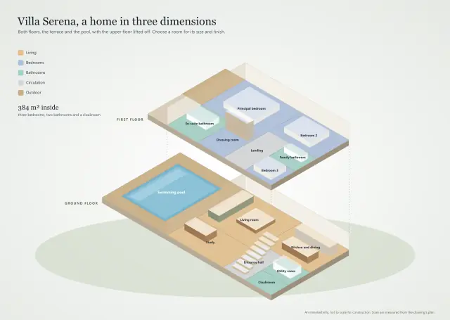 Villa Serena, a home in three dimensionsA villa in three dimensions, its upper floor lifted off: every room coloured by use, with its size.
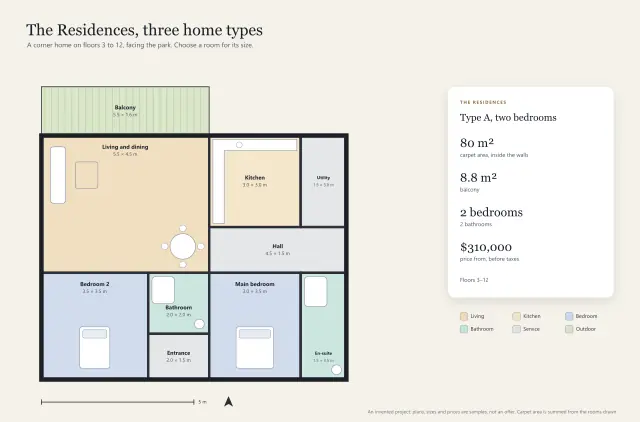 The Residences, three home typesA sales brochure: three home types on three artboards, carpet area added up from the rooms drawn.
Floor plans10
Can it show a place room by room? Apartments, hotels, schools and museums, every room with its own panel.
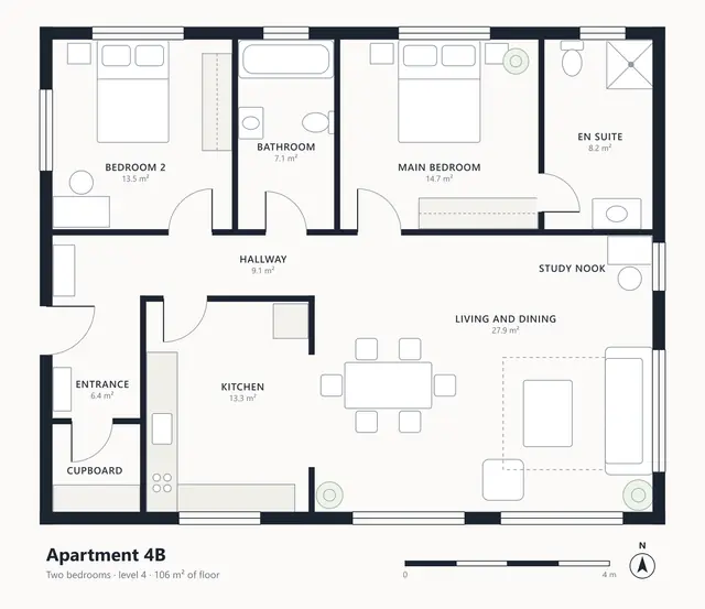 Apartment 4B, every room in detailEvery room opening a side panel, with the facts beneath it computed from the drawing.
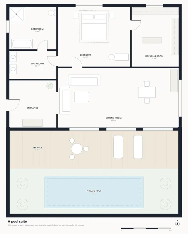 A pool suite, room by room in photographsClick a room and its photograph comes up over the dimmed plan.
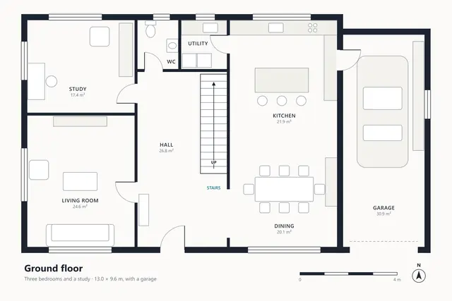 A house on two floorsTwo floors as artboards, stairs linking them both ways, and a measurement to scale.
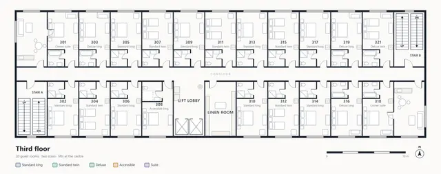 Hotel, the third floor by room typeTwenty rooms coloured and filed by type, with stairs, lifts and extinguishers marked.
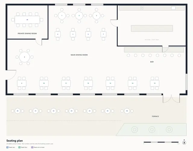 Restaurant seating plan, table by tableRound and square tables over freeform dining areas, coloured by how many they seat.
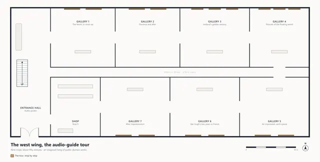 Museum wing, the audio-guide tourA numbered tour through seven galleries, each opening the paintings that hang in it.
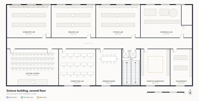 University science building, second floorEvery room says what happens in it and links out to further reading.
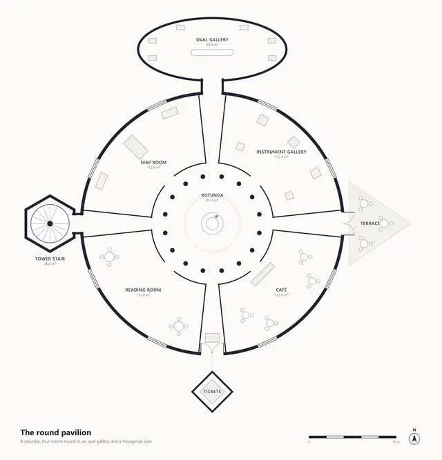 A round pavilion: circles, ovals and anglesEverything that is not a rectangle: ellipses, wedges, a hexagon, and a numbered tour.
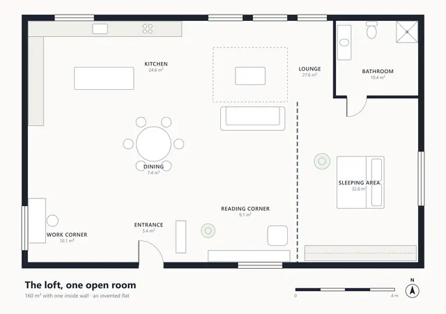 A loft, one open room in zonesRegions that are not rooms: an open-plan loft zoned with polygons and an ellipse.
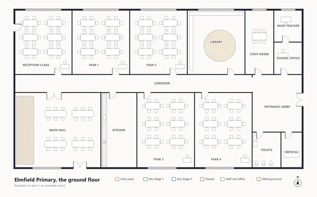 A primary school, the ground floorA school's ground floor: rooms coloured by who uses them, with facilities as markers.
Wayfinding10
Can it get someone where they are going? Hospitals, airports, stations and resorts, with routes from the door.
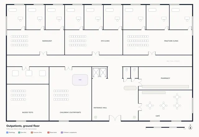 Hospital outpatients, the way to your clinicFive colour-coded routes from one front door, each with its length and walking time.
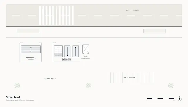 Metro interchange, three levelsStreet, ticket hall and platforms, joined by every stair, escalator and lift.
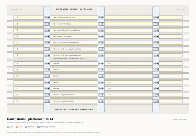 Dadar station, Mumbai: platforms 1 to 14Mumbai's Dadar station as a schematic: all fourteen platforms, and what each one serves.
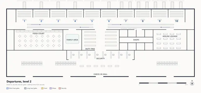 Airport terminal, departures levelTwo hundred metres of terminal, with every gate's walk from security worked out.
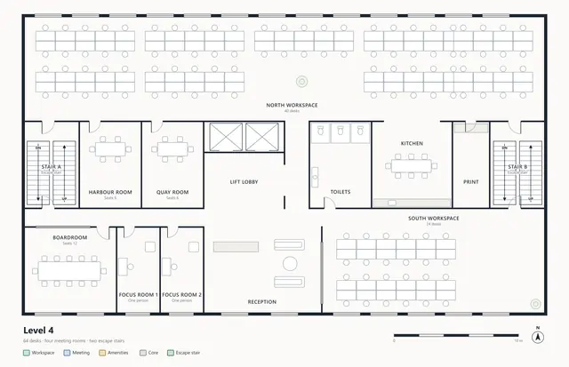 Office level 4, the way outFour escape routes drawn along the real aisles, each ending at the stairs it names.
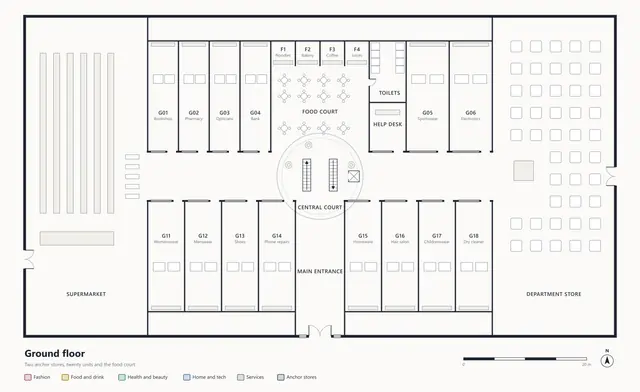 Shopping centre, the ground-floor directoryA directory you read by pointing: units by category, facilities, and a round court.
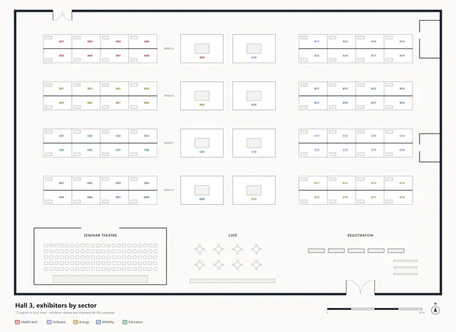 Exhibition hall, 72 stands by sectorSeventy-two stands in five sectors, each findable by the code on the badge.
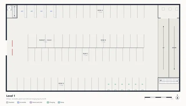 Car park, two decks bay by bayRows as one region, every accessible and charging bay on its own, and the ramps between decks.
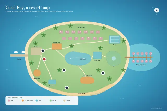 Coral Bay, a resort mapAn island resort: places by what you do there, with facility markers for what you need in a hurry.
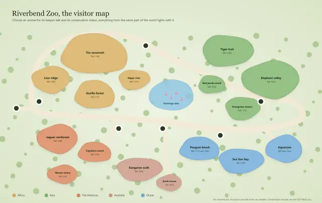 Riverbend Zoo, the visitor mapAn illustrated visitor map: animals grouped by continent, with talk times and conservation status.
Products10
Can I show off my product? Watches, cameras, engines and phones, every part named and explained.
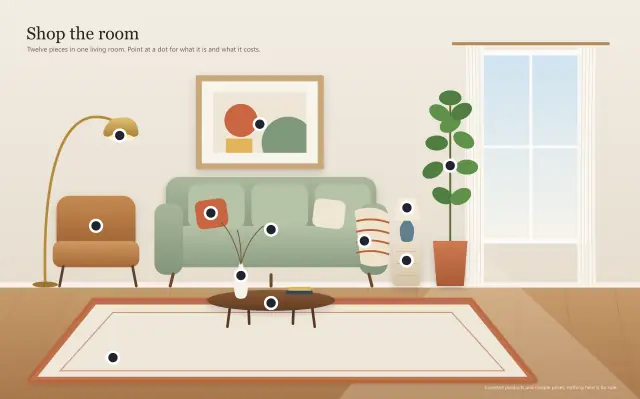 Shop the room, a living room piece by pieceA styled room with a marker on every piece, each showing its price and materials on hover.
 A smartphone, explodedAn isometric teardown: every layer and component of a phone, lifted apart and explained.
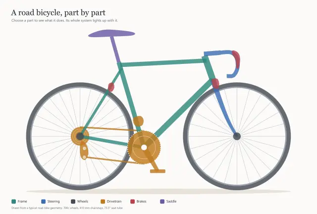 A road bicycle, part by partAn object diagram: every part keeps its own outline, and picking one lights up its system.
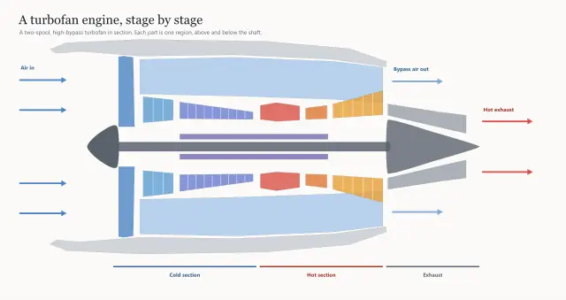 A turbofan engine, stage by stageAn engineering cutaway where a part seen above and below the shaft is one region.
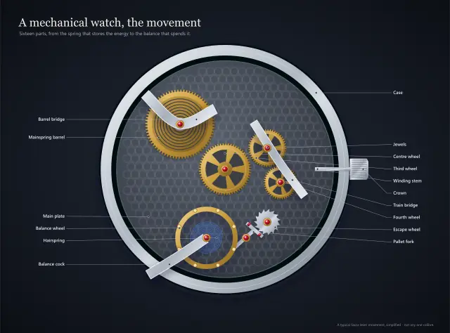 A mechanical watch, the movementA luxury product page: an open-worked movement where every wheel, jewel and spring opens its part.
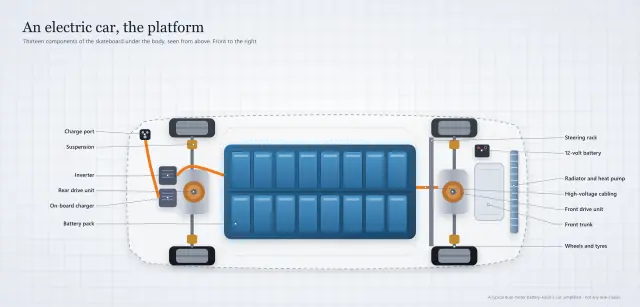 An electric car, the platformAn engineering page: the battery, motors and charging under an electric car, filed by what each does.
 An espresso machine, outside and inA product on two artboards: the controls a buyer touches, then the boilers and pump inside the case.
 A running shoe, layer by layerA retail story: a racing shoe with its foam and plate lifted apart, each part in a bottom sheet.
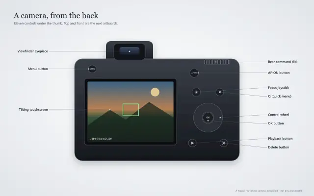 A camera, every controlThe product manual: every button and dial on three views of a camera, each in a callout.
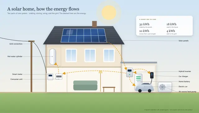 A solar home, how the energy flowsA system, not one product: panels, battery, charger and heat pump in a cut-away house.
Diagrams10
Can it do my own drawing? Seat maps, org charts, process maps and racks: every shape becomes a region.
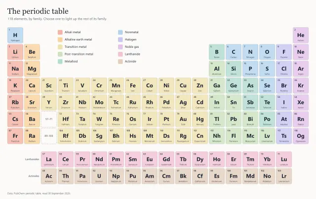 The periodic table, by family118 shapes in an SVG, each a region: choose one and its whole family lights up, with facts behind it.
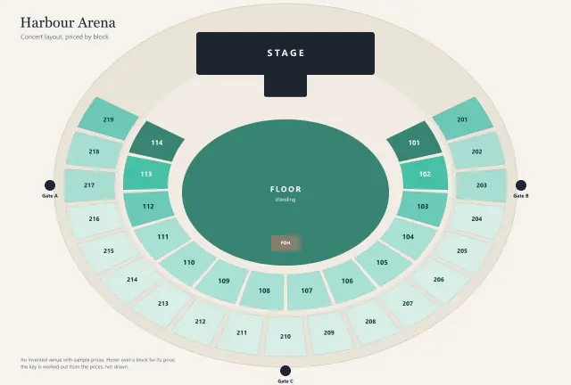 Harbour Arena, seats priced by blockA seating chart shaded by price, with the key worked out from the numbers.
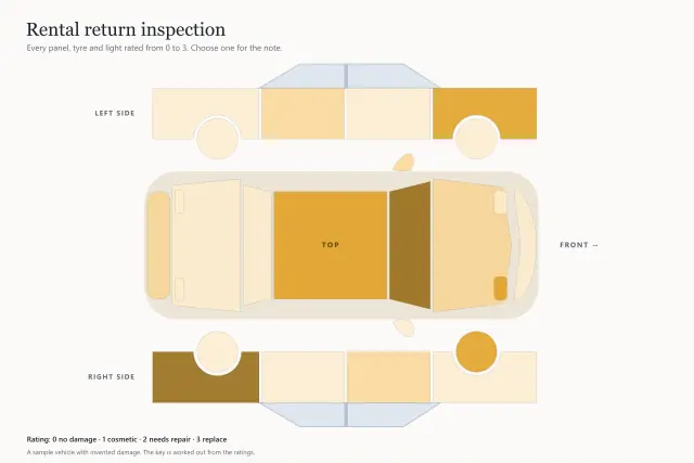 Rental return inspectionAn unfolded car with every panel, tyre and light rated, and a note behind each.
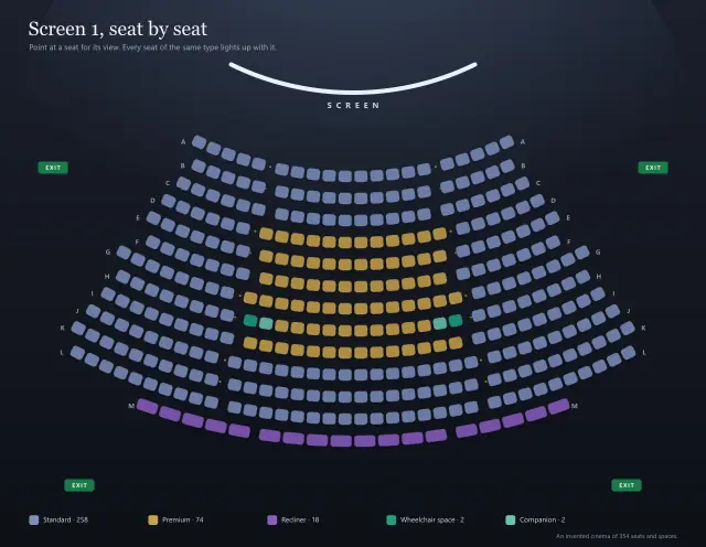 Screen 1, a cinema seat by seat354 seats on curved rows, each a region: point at one and every seat of its kind lights up.
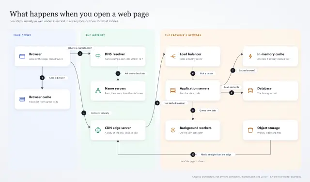 What happens when you open a web pageCards inside zones, each its own click, with a numbered journey drawn as arrows.
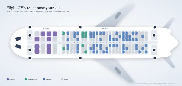 Flight GV 214, choose your seatA booking seat map: seats by cabin and availability, each opening its price on hover.
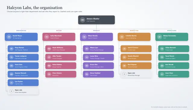 Halcyon Labs, the organisationAn organisation chart: choose anyone to light their department and see who they report to.
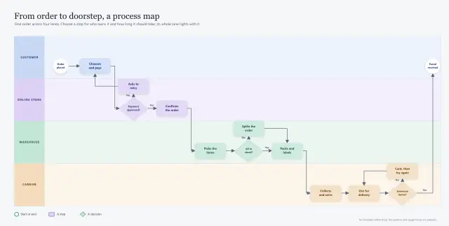 From order to doorstep, a process mapA swimlane process map: every step grouped by lane, with its owner, system and target time.
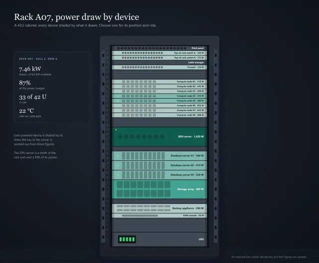 Rack A07, power draw by deviceA 42U rack shaded by each device's power draw, with the key worked out from the numbers.
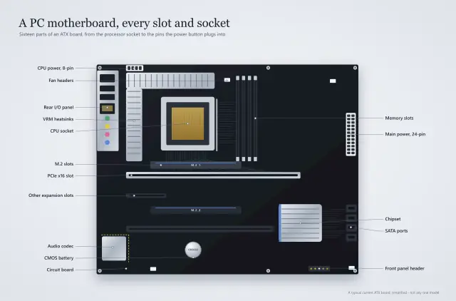 A PC motherboard, every slot and socketA technical illustration: every slot, socket and header on an ATX motherboard, explained.
Education10
Can I teach with it? Anatomy, science and history, the way a textbook would explain each part.
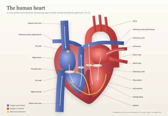 The human heart, part by partA rich illustration under invisible regions: each part opens a panel, numbered along the blood's path.
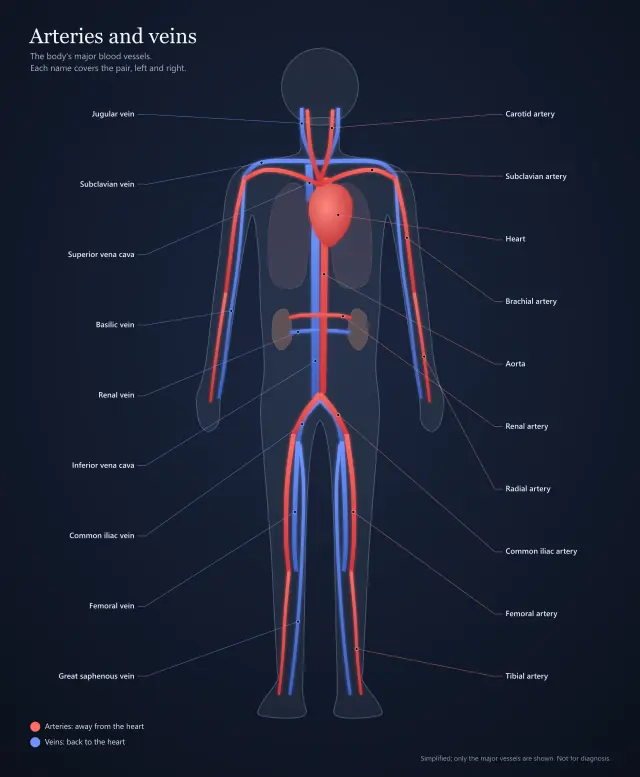 Arteries and veins, the body's major vesselsLong branching vessels over a body, each left-and-right pair one region with two outlines.
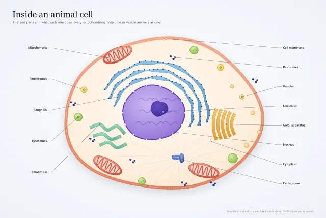 Inside an animal cellThree mitochondria and four lysosomes: a part drawn many times answers as one region.
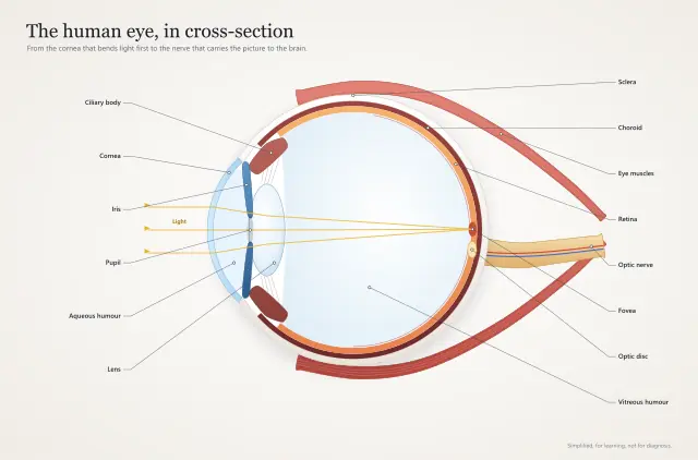 The human eye, in cross-sectionLayers a few pixels thick, each its own region, and the fovea still takes its own click.
 A flower, part by partA botanical section filed by function, with a pollen tube traced from stigma to ovule.
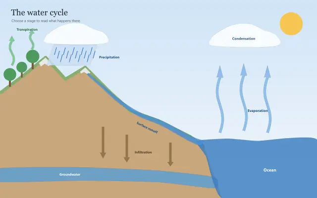 The water cycle, stage by stageAn illustration whose regions are clouds, arrows and a river, each opening a sheet below.
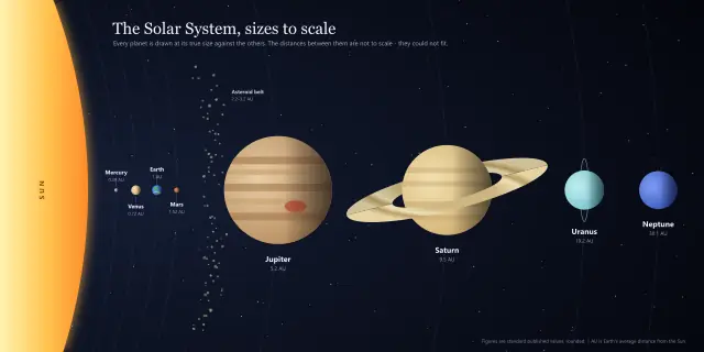 The Solar System, sizes to scaleEvery planet at its true size, from a dot to a disc thirty times wider, each opening its facts.
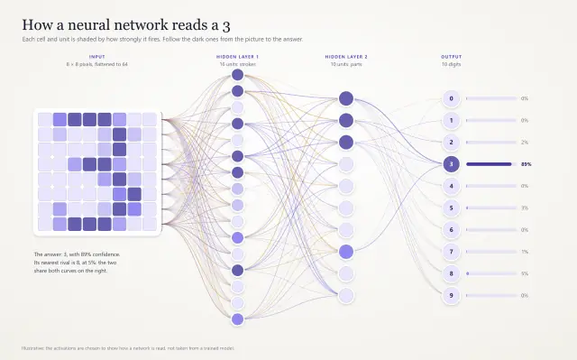 How a neural network reads a 3Every pixel and unit shaded by how strongly it fires, with the key worked out from the numbers.
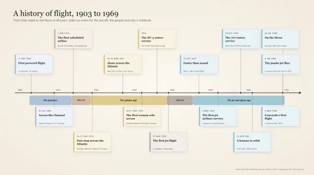 A history of flight, 1903 to 1969A timeline from Kitty Hawk to the Moon: fifteen events on a year axis, grouped by era.
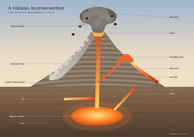 A volcano, in cross-sectionA volcano cut in half: from the magma chamber to the ash cloud, every feature explained.